We identify and manage Sargassum before your patrons even notice.
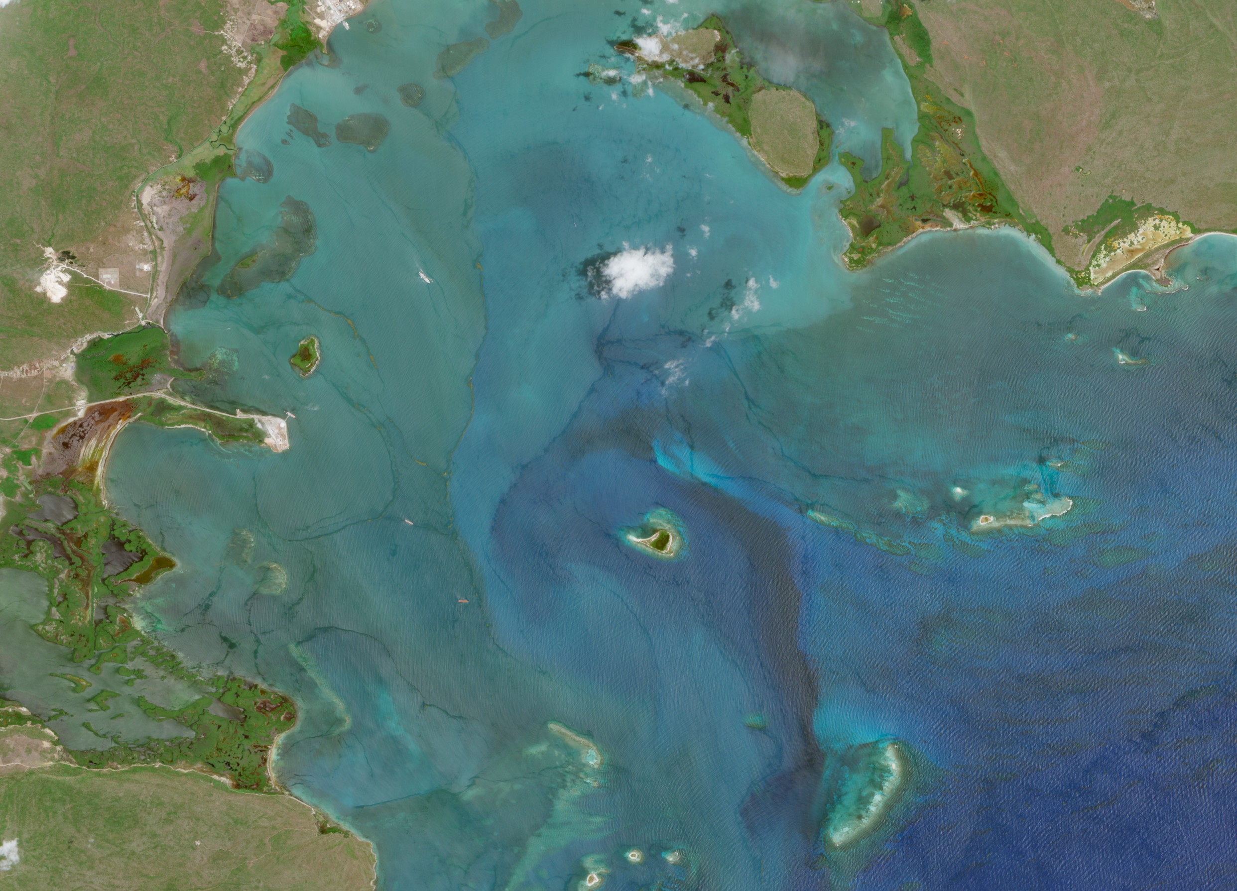
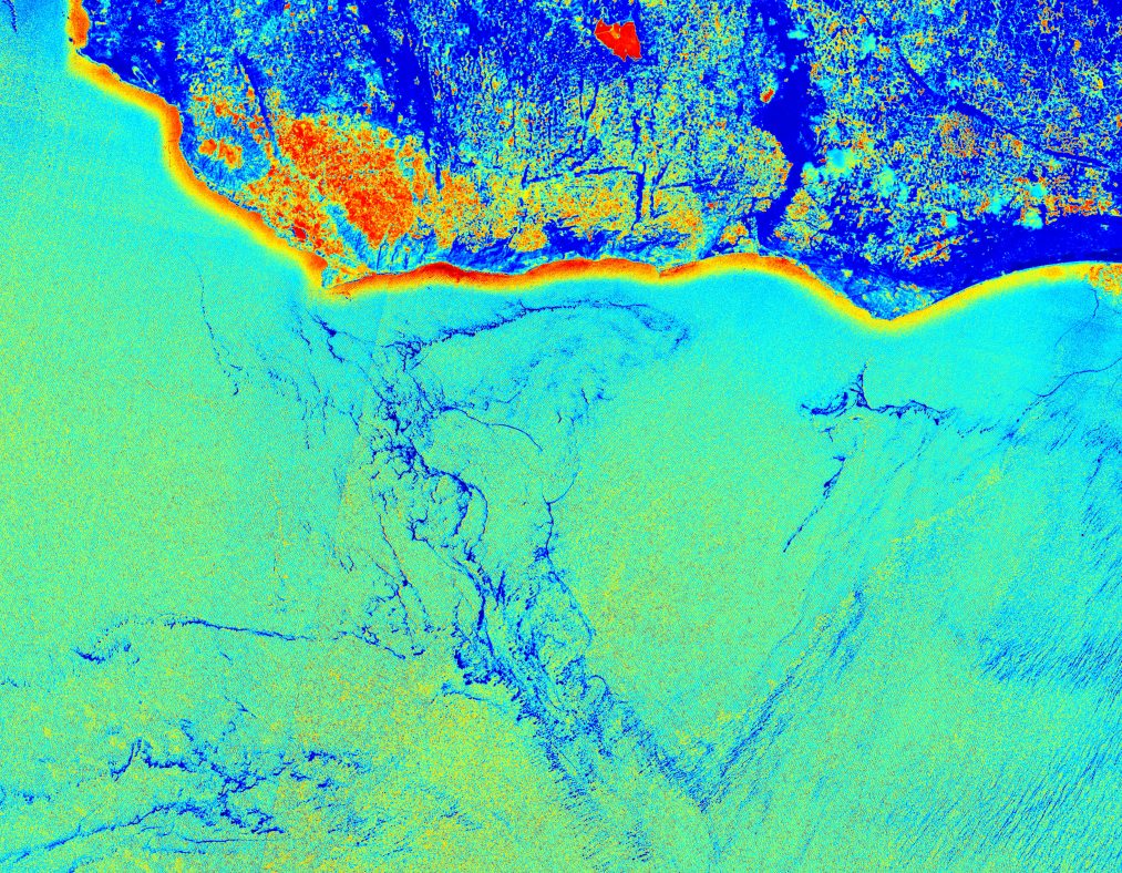
We analyze satellite imagery to identify offshore sargassum and concentration trends near your coastline.
We estimate shoreline impact windows using wind and ocean current data, highlighting uncertainty when it increases.
We send actionable alerts with beach segments, expected volumes, and timing — in your team’s channels.
Plan staffing and equipment before mats make landfall, and avoid costly double-cleans.
Your shoreline segmented with thresholds you control and alert preferences you set.
Email, SMS, WhatsApp, and webhook integrations for smooth dispatch.
Peak-season coverage with response targets that match your operating hours.
We currently serve the Caribbean, Gulf of Mexico, and selected Atlantic coastlines. If your beach isn’t listed, we can evaluate coverage upon request.
Lead time varies with distance, currents, and wind; in many cases you’ll receive days-ahead notice with updates as conditions change.
Email, SMS, WhatsApp, and webhook. We can discuss other integrations during onboarding.
Typical onboarding completes in about two weeks, including beach segmentation and alert thresholds.
Yes. We segment each shoreline and manage alerts per location and threshold.